Day 9: Gorak Shep to Pheriche

Distance Travelled for the Day – Est Steps: 25,331 Distance: 19km

Periche (elev. 4240m} Oxygen Content -10.3% / 21%

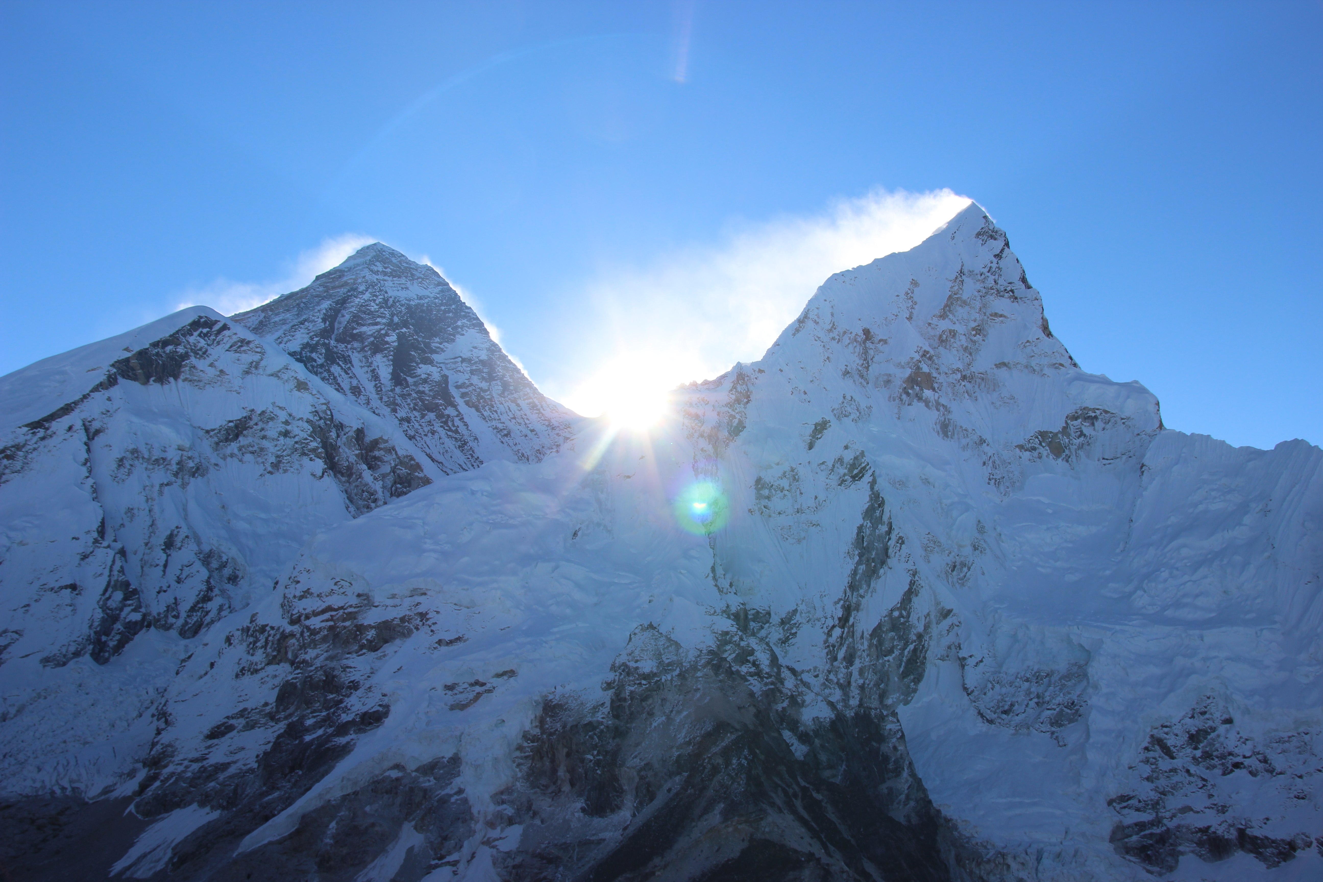
We started the morning just after 4am heading up to Kala Patthar to catch the sunrise over Mt Everest.  Kala Patthar is a peak that rises to about 5600m about see level and is not much more then rubble with a trail reaching up to the peak.

Climbing Up Kalapattar

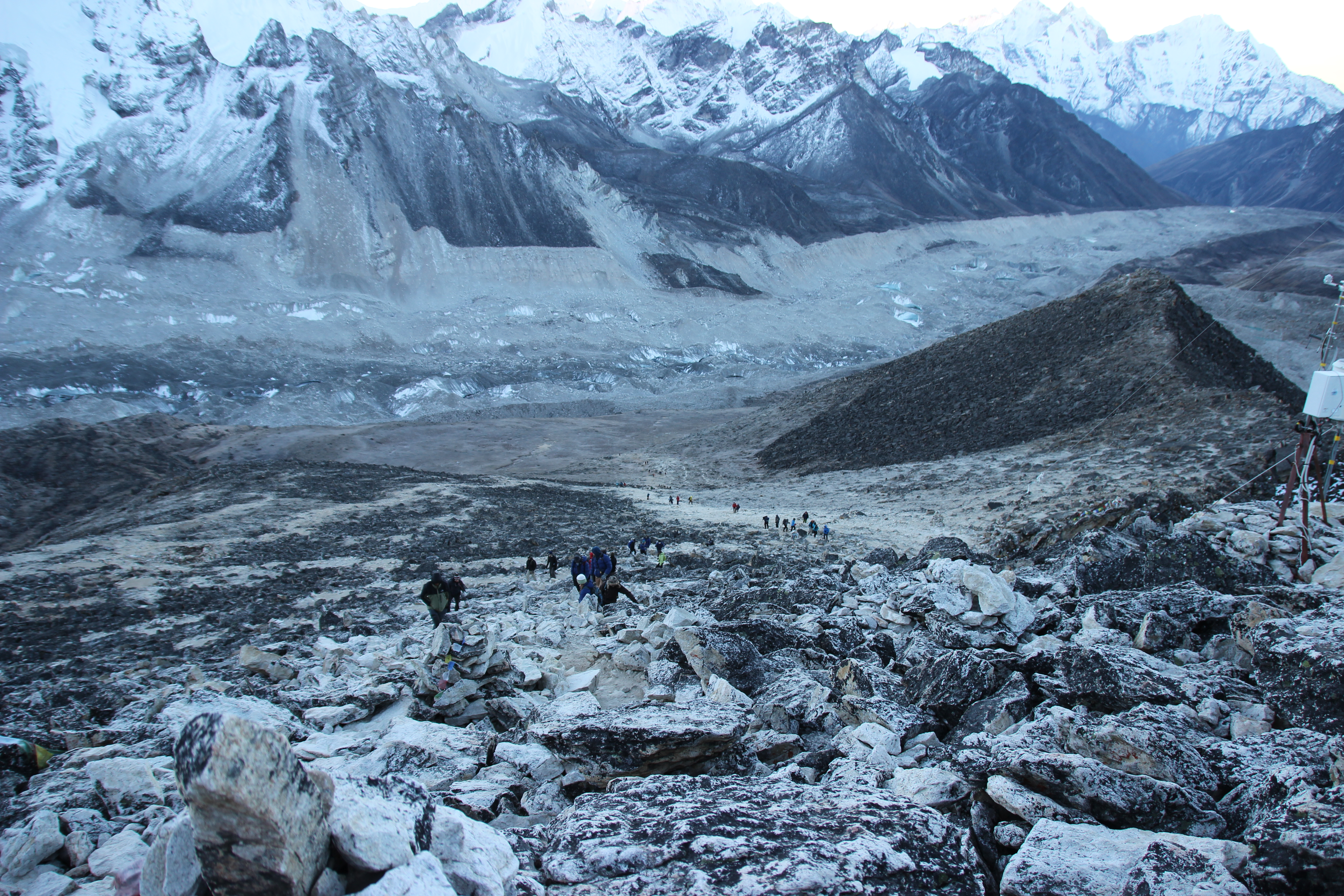
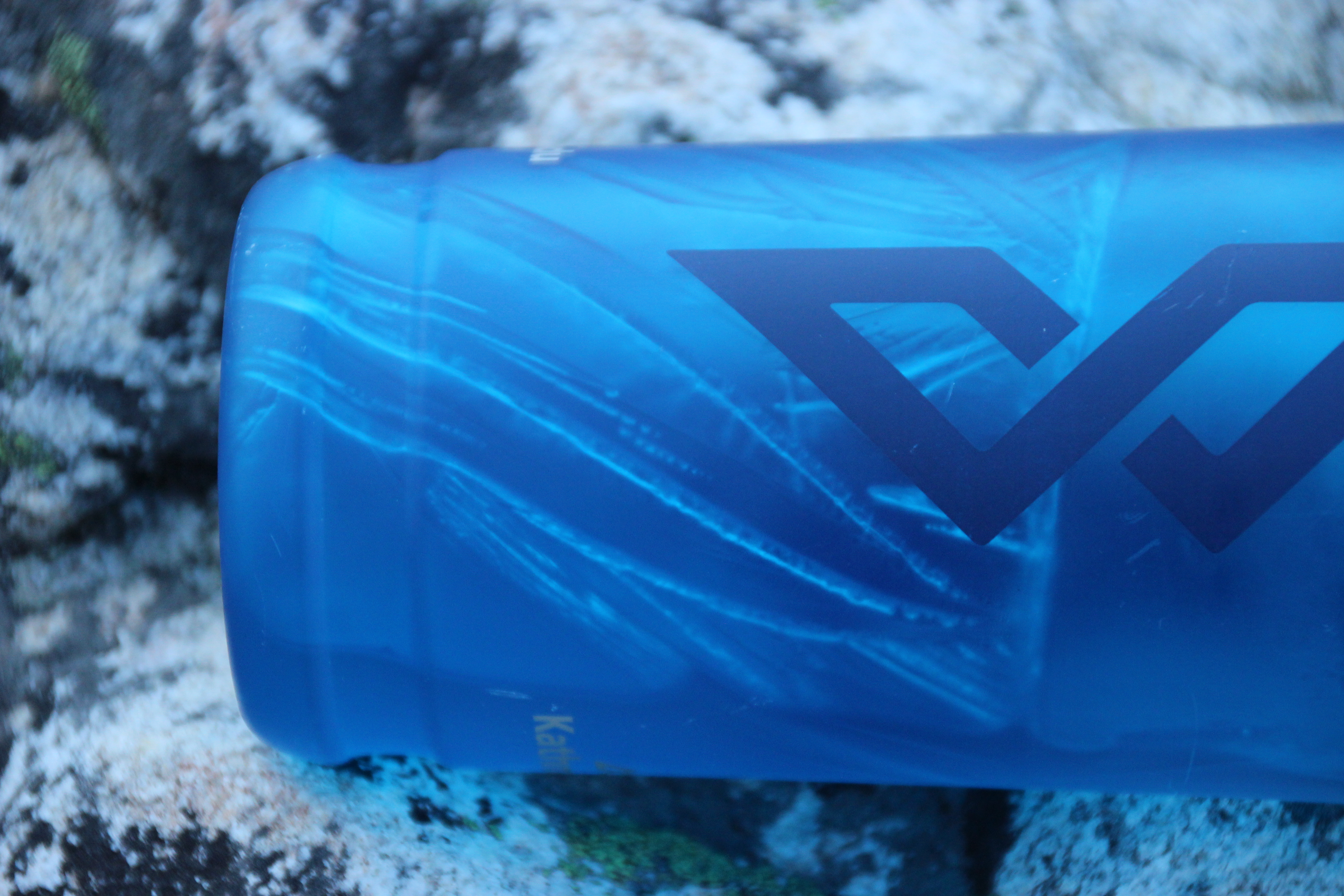
The trek to the top takes a few hours and is one of the hardest climbs on the trek with your body demanding more oxygen then available in the air around you and the cold (-9 degrees Celsius that morning). Just about everything that could froze on the trek up, including my water bottle, pictured below.

Kalapattar - Frozen Water Bottle
Kalapattar – Frozen Water Bottle,

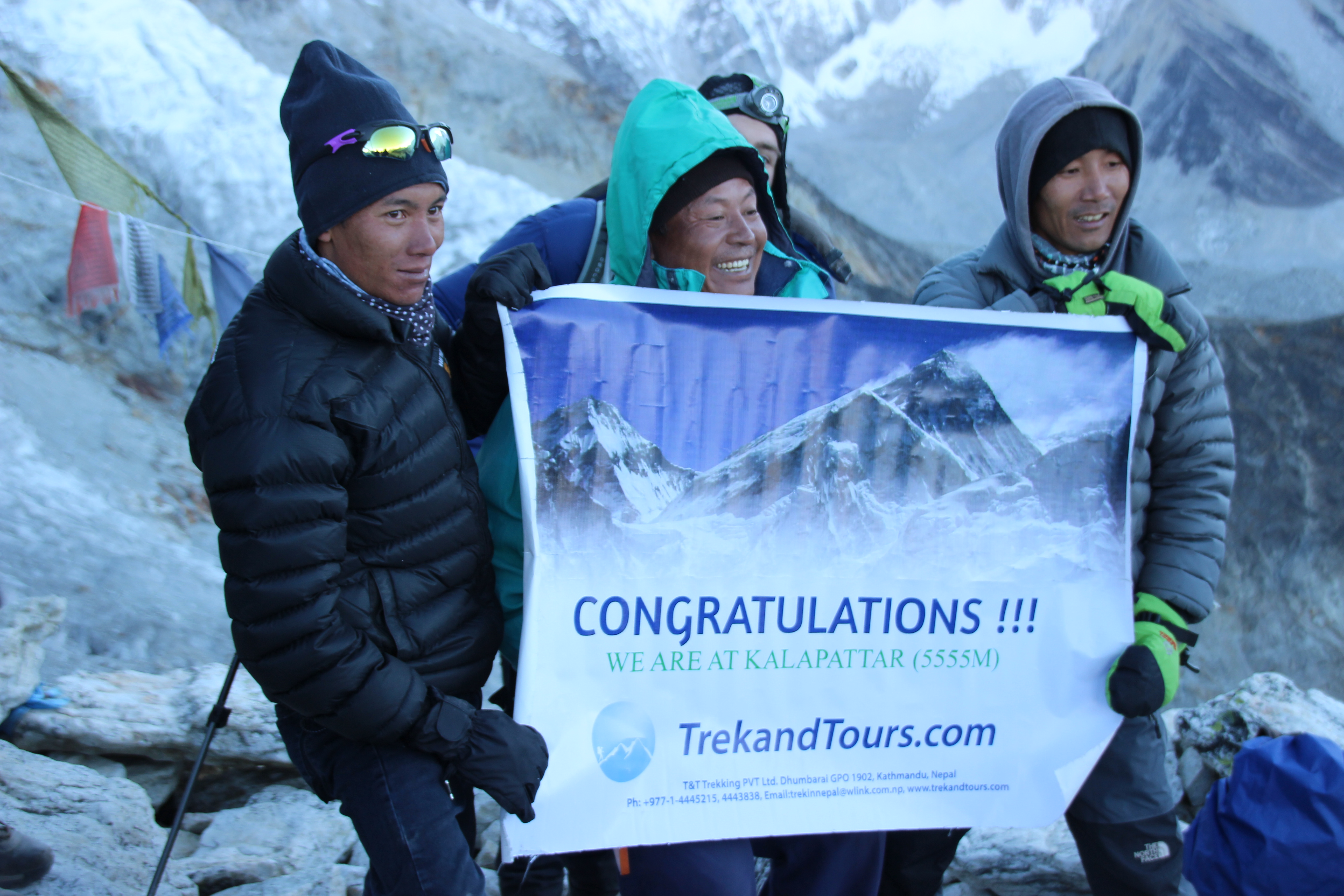
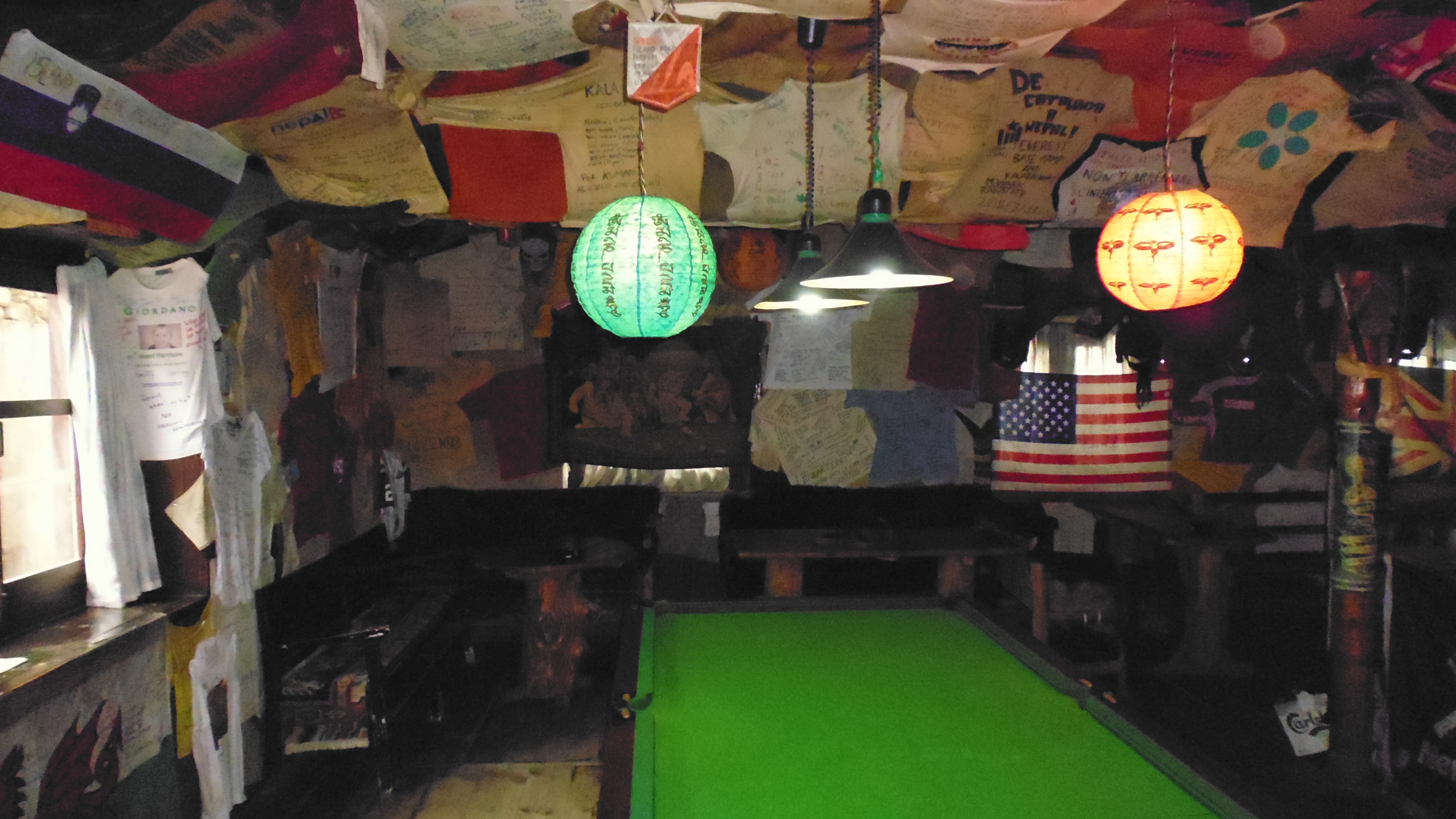
Again a great sense of achievement as the group reaches the top.  The sherpas and guides again make it look all too easy as they steadily hike up the hill barely breaking a sweat.  In fact the most sweat we saw them break the whole trip was on the dance floor.

Kalapattar - Congratulations
Kalapattar – Congratulations

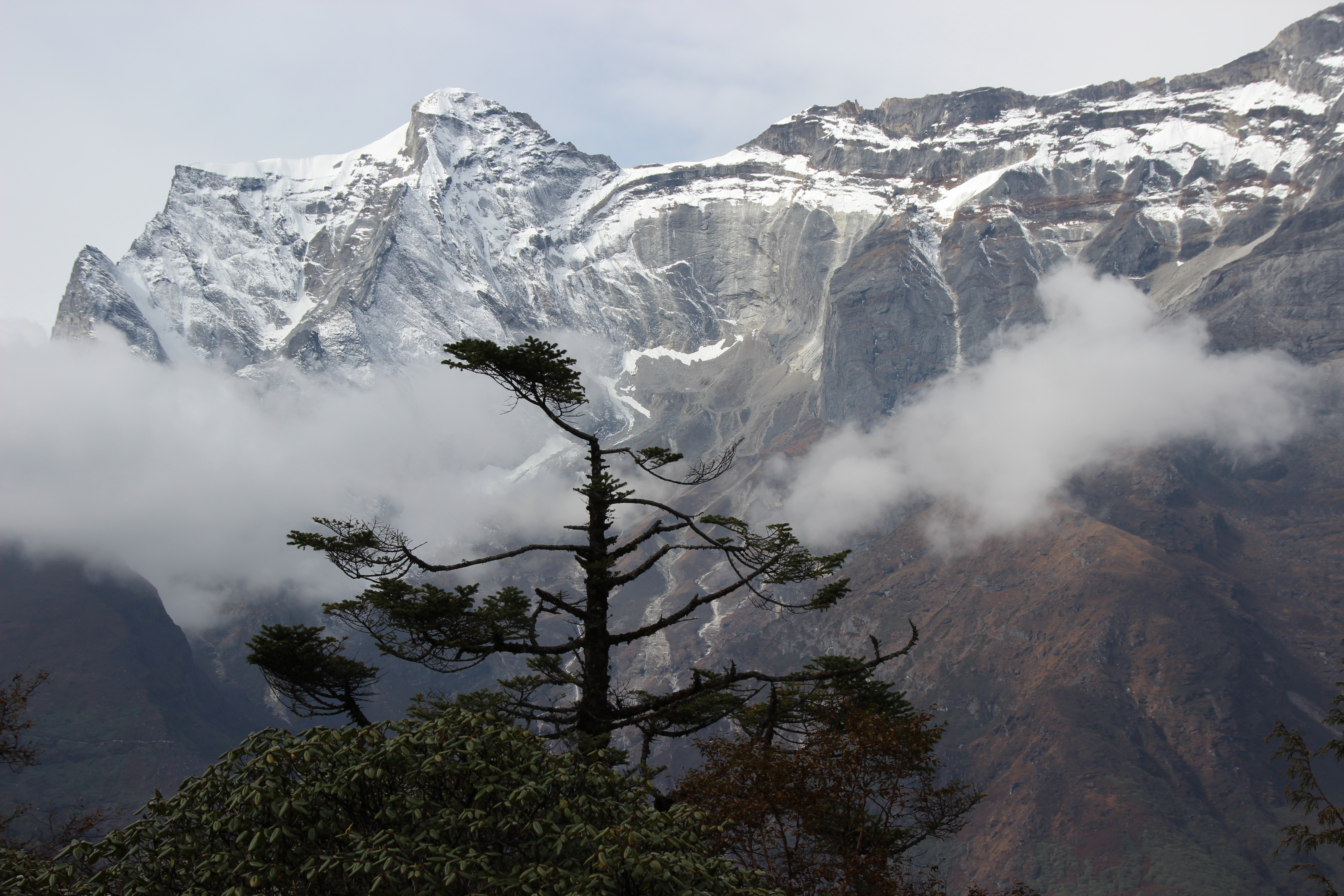
The climb to the peak is worth it with some of the best views of the trip right in front of you.   You get a true sense of the elevation you now sit at with a view across the Himalayas that is absolutely breathe taking.

Landscape View of Mountain Ranges from Kilapattar
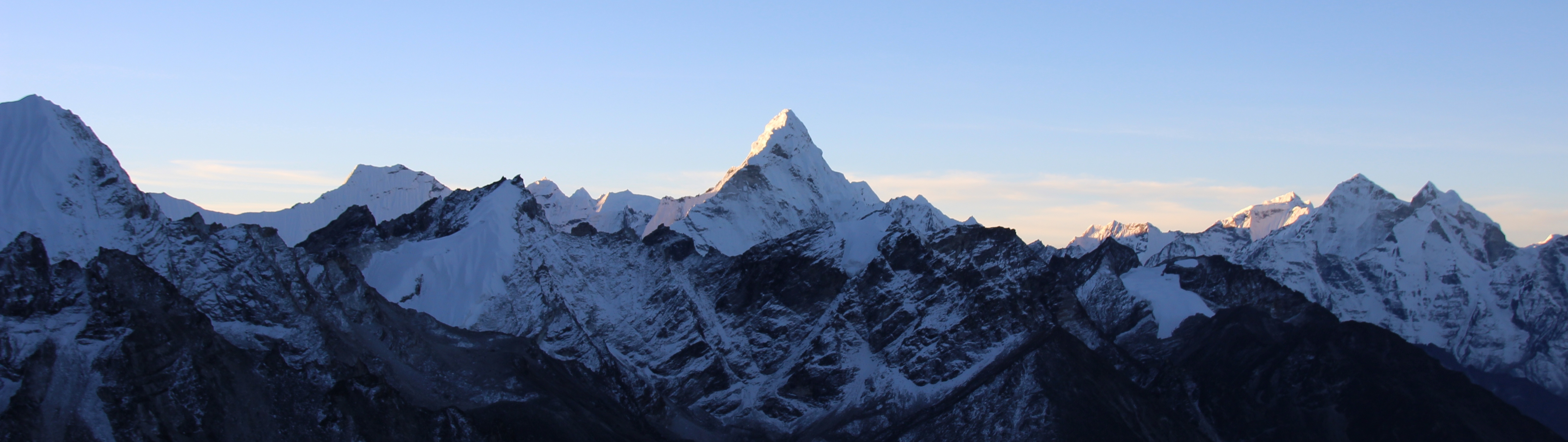
As the sun rises from behind the few mountains that still tower over the rest it is truly an awesome experience that is hard to describe.  One does get a feeling of how humbling it is and what a privilege it is to experience some so magnificent.

Sunrising Over Everest
Sunrise Breaking Over Everest

Heading down the hill the sun warmed the track in front of us and it was amazing the difference in temperature as the sun brought warmth back to the mountain.

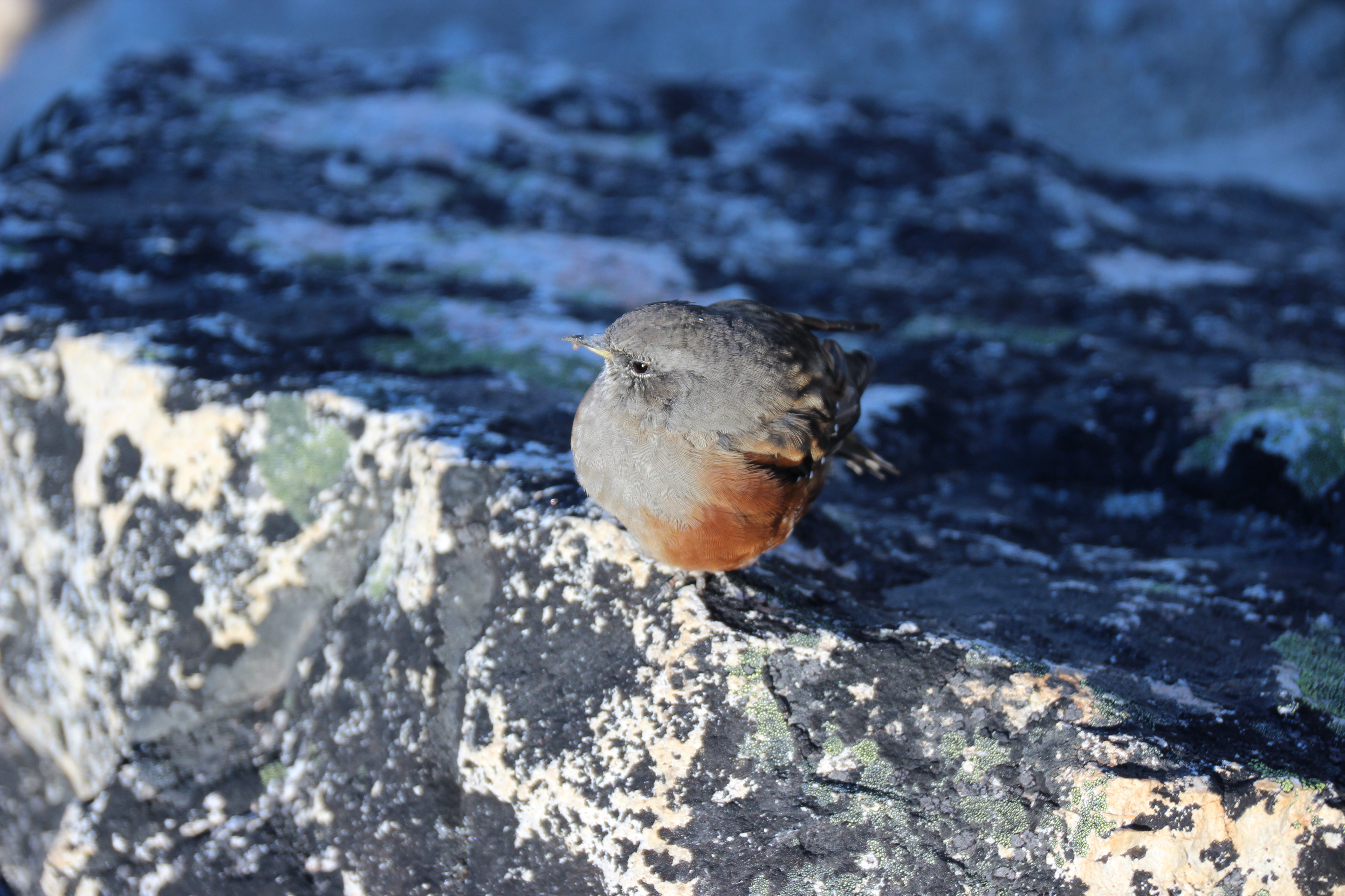
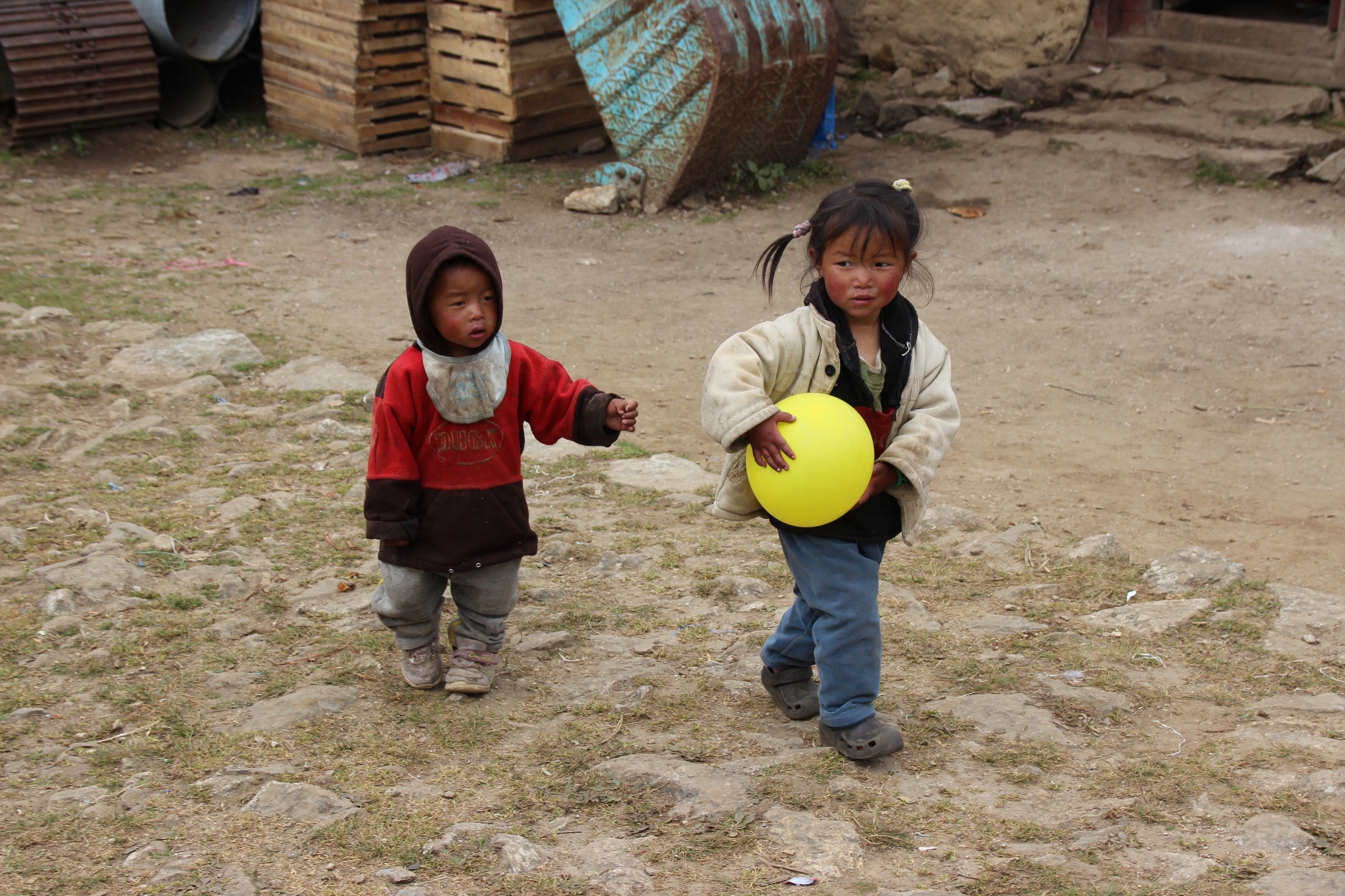
Even on Kalapattar there are things that popped up unexpectedly and here is one of them.  A small bird that decided that the sunrise over everest was an event that even it could enjoy.  This bird hopped along happily following us down the trail for a while before flying off.

Bird on Kalapattar
Bird on Kalapattar

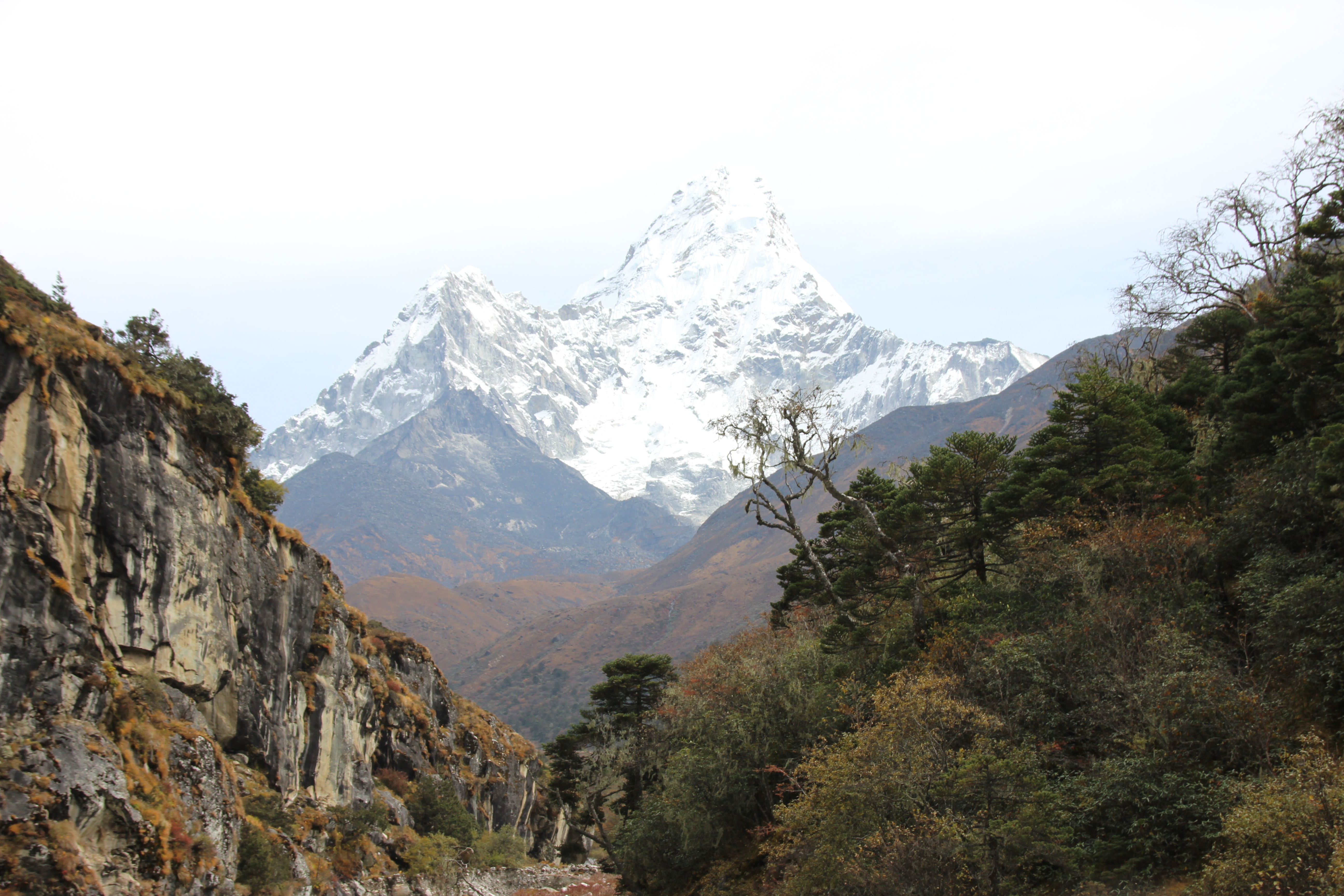
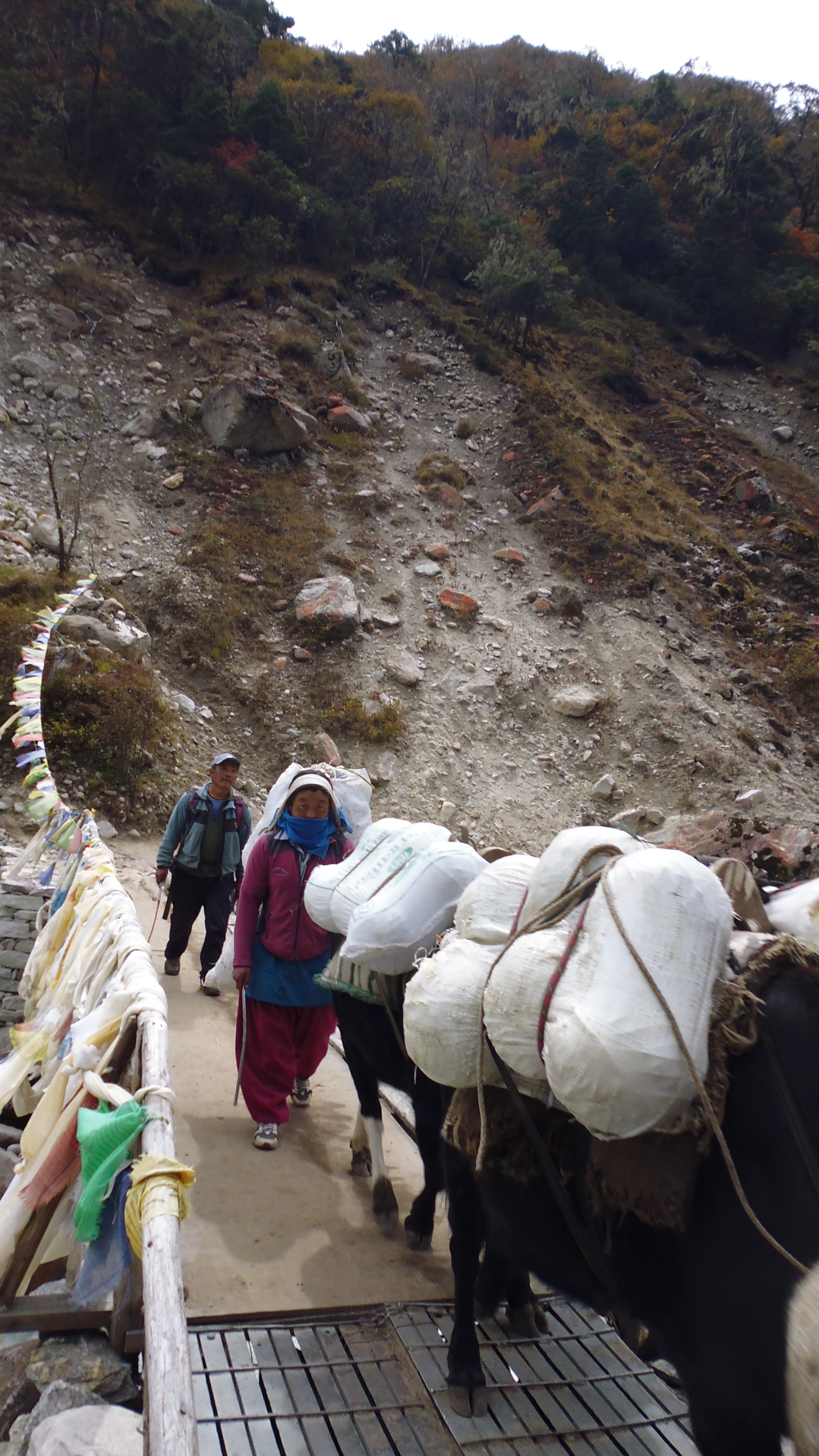
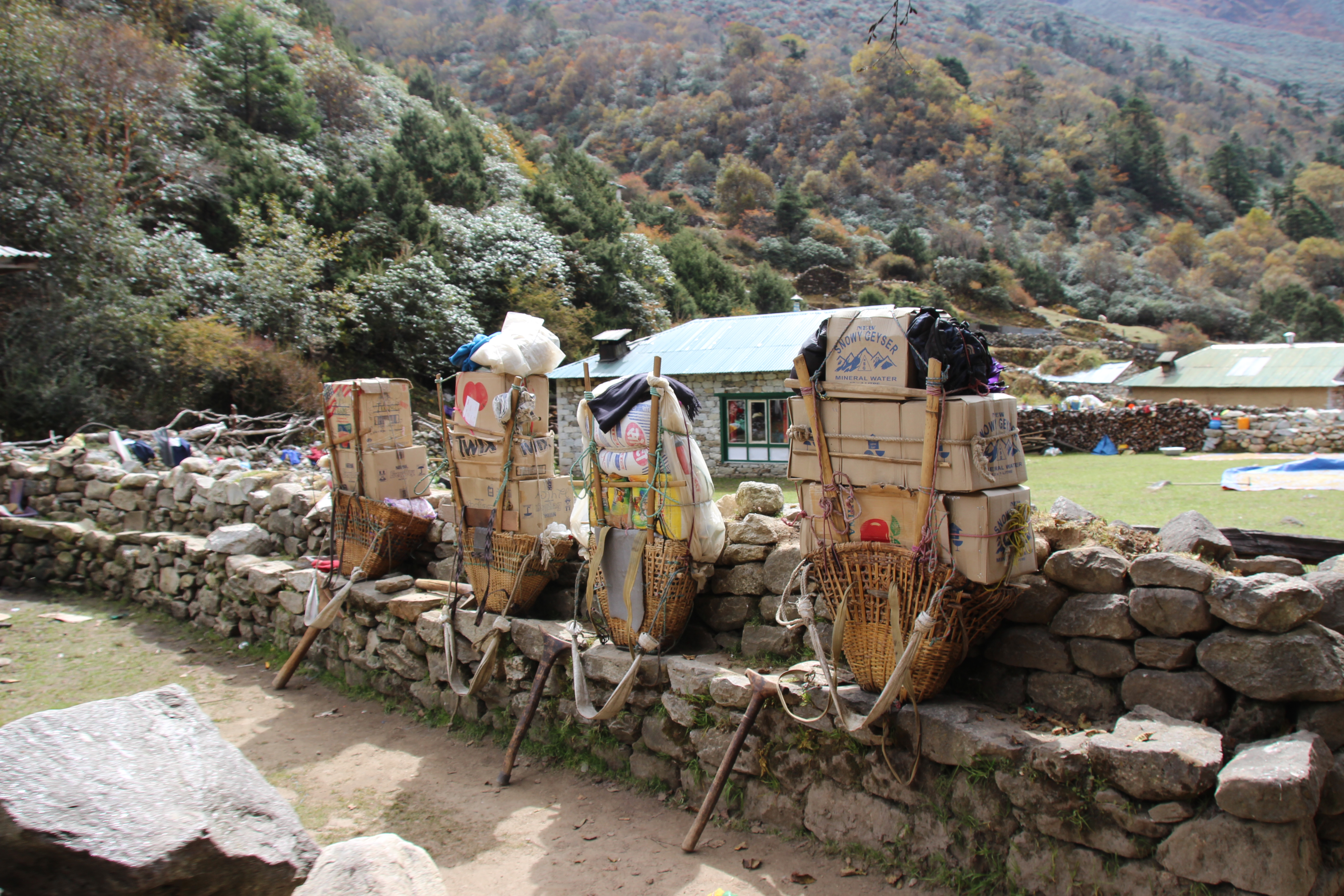
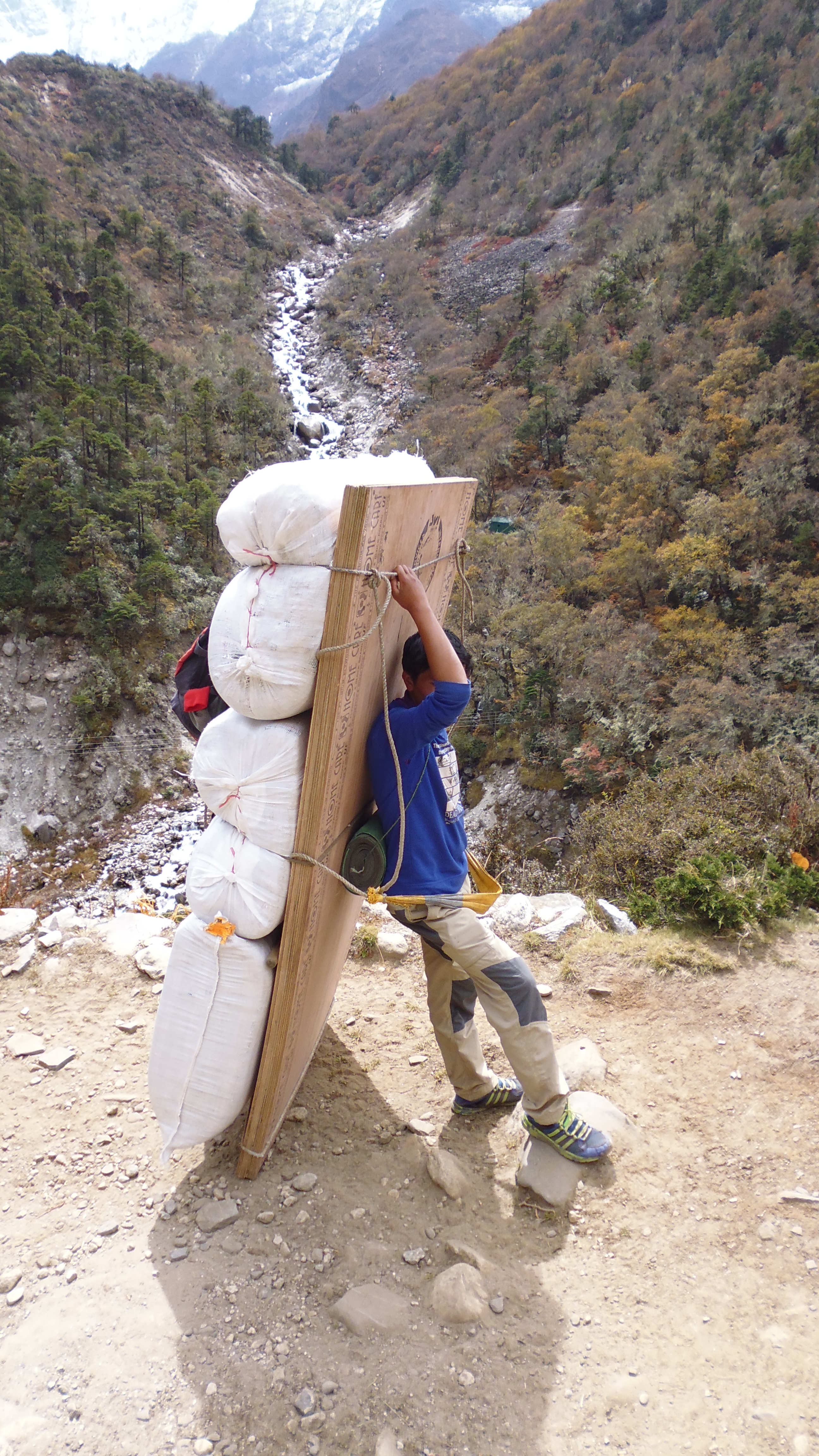
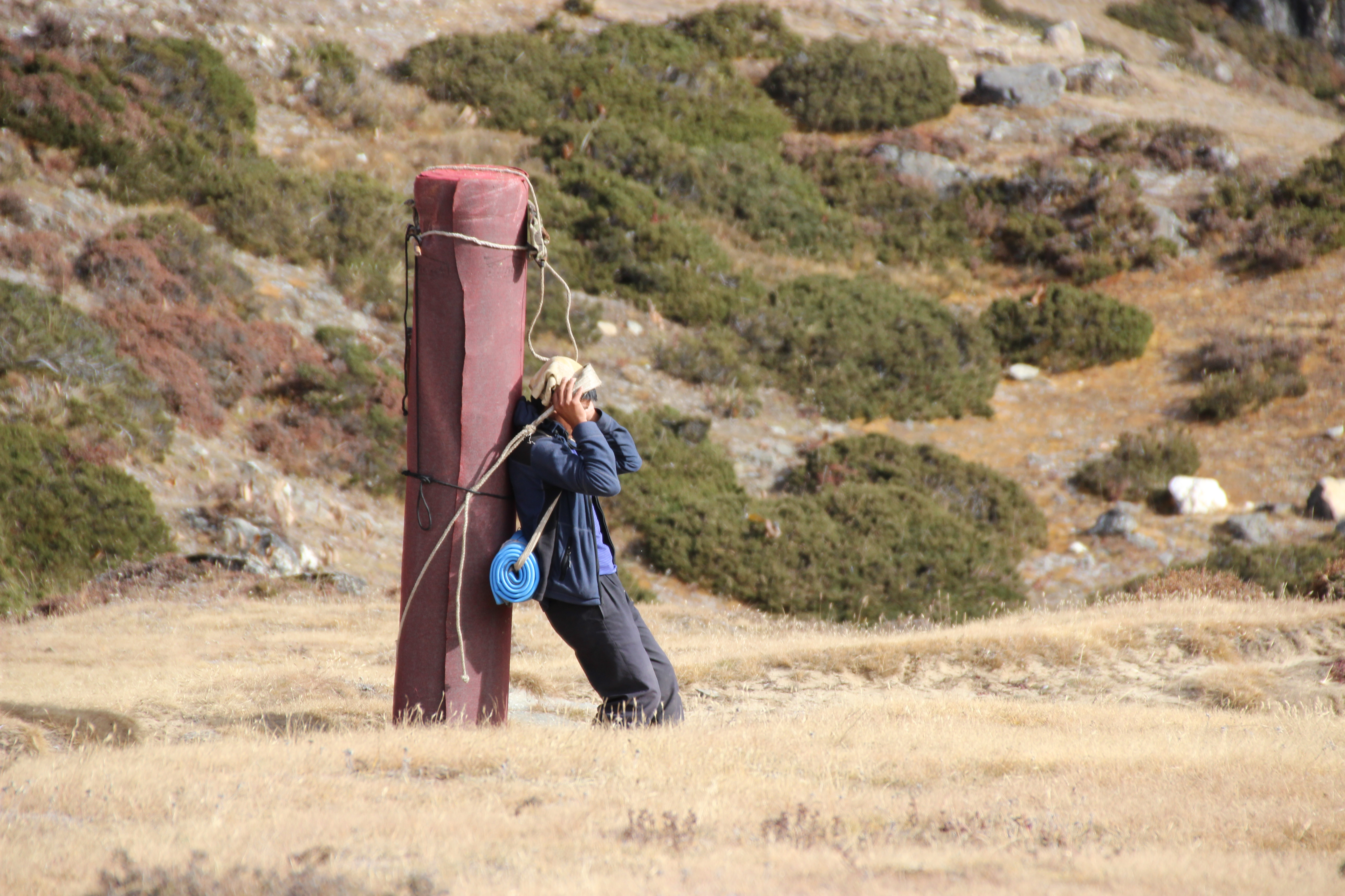
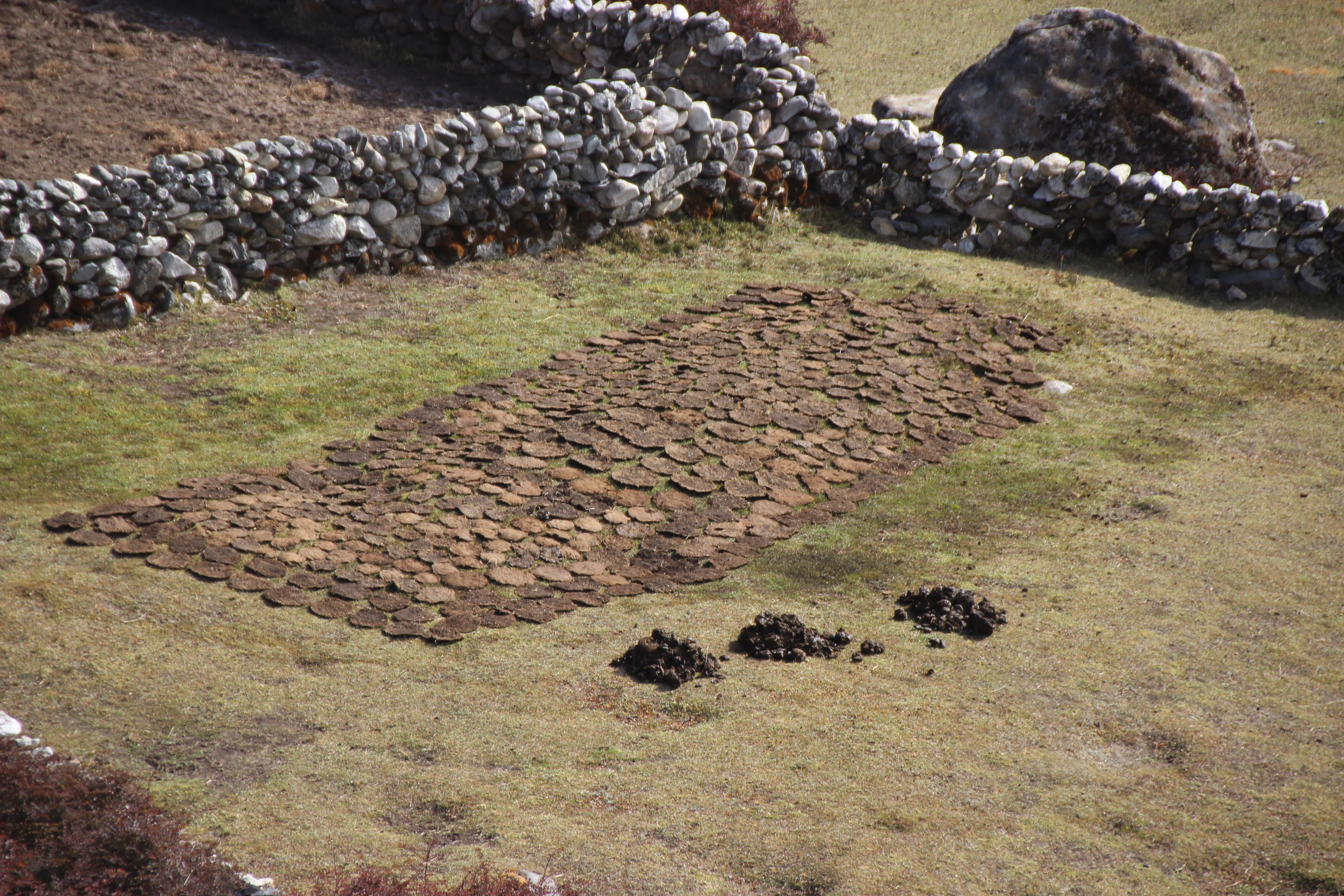
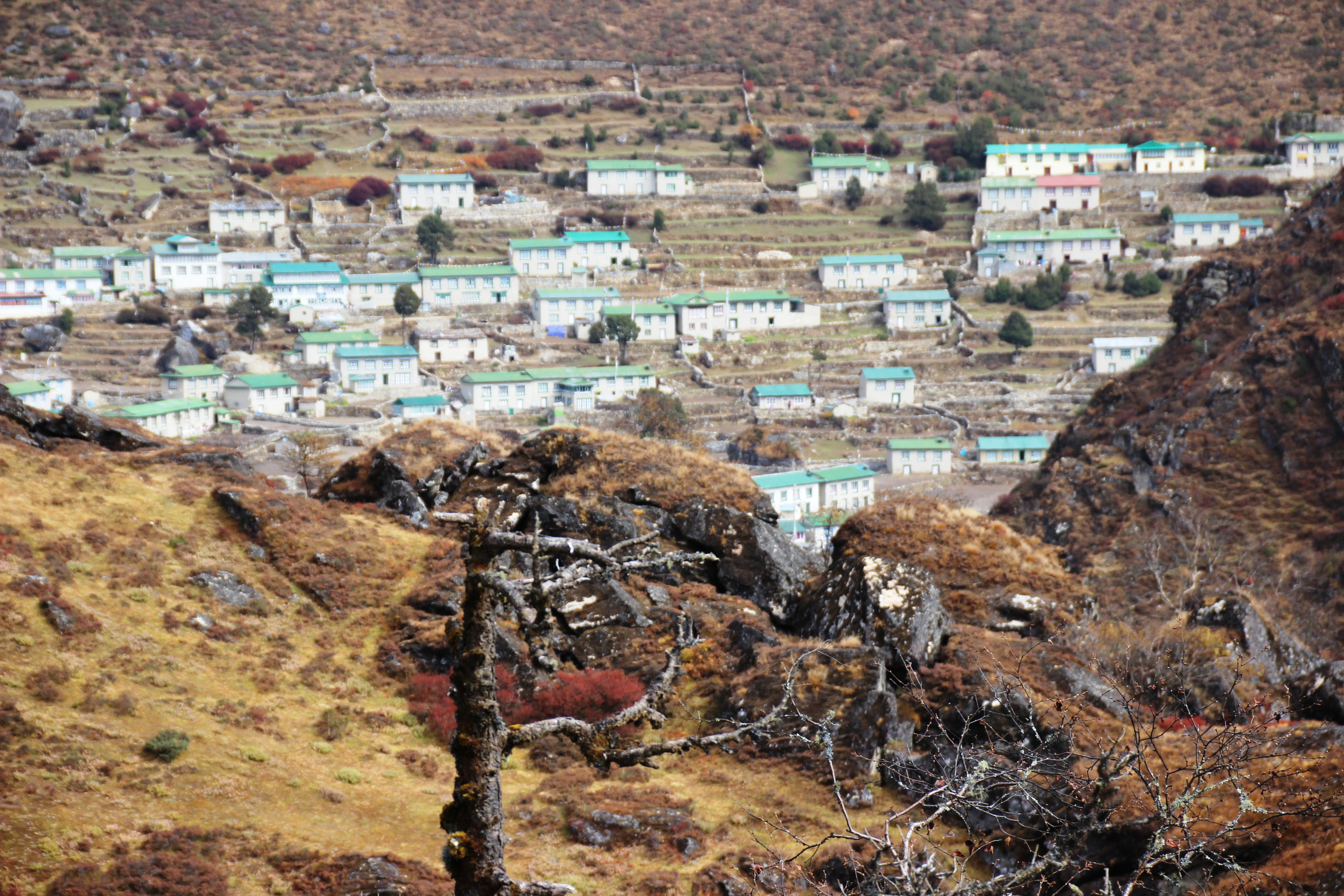
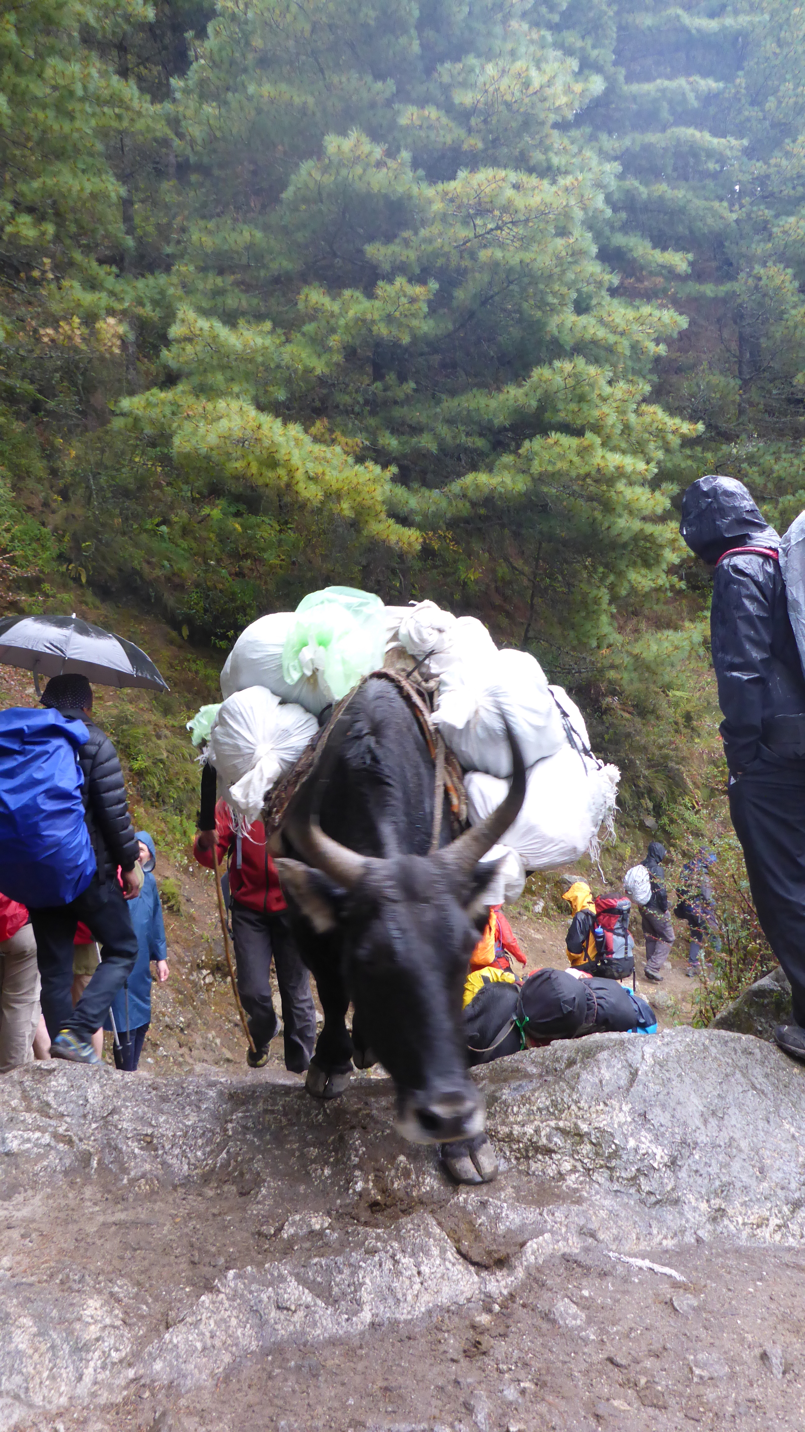
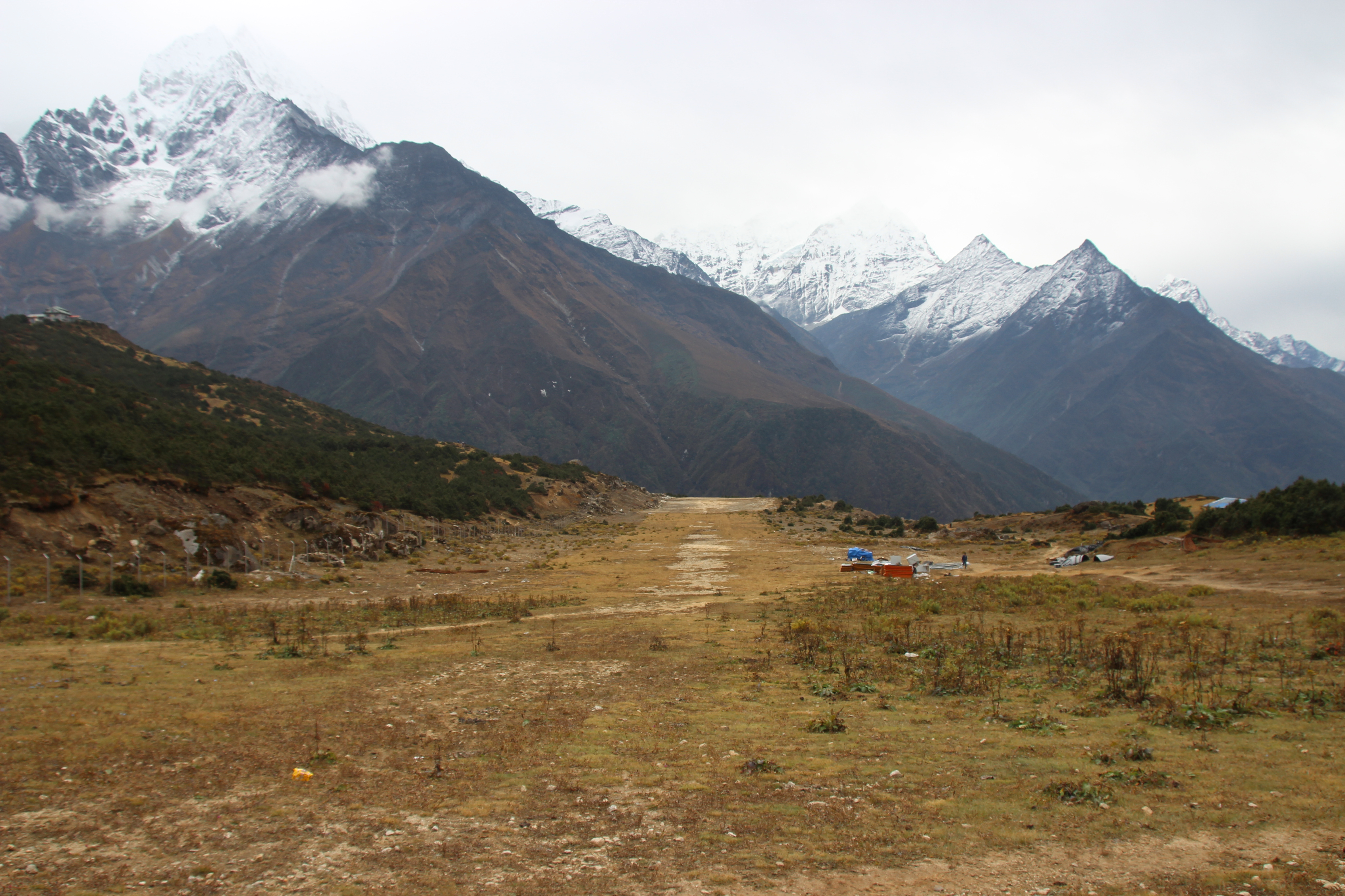
We had breakfast and then headed towards Pheriche.  This was about a 7 hour hike. The hike into Pheriche was pretty flat heading steadily down hill for the most part.  The last part of the day we followed the valley floor following local tracks beside streams formed by the melting ice of the mountains.

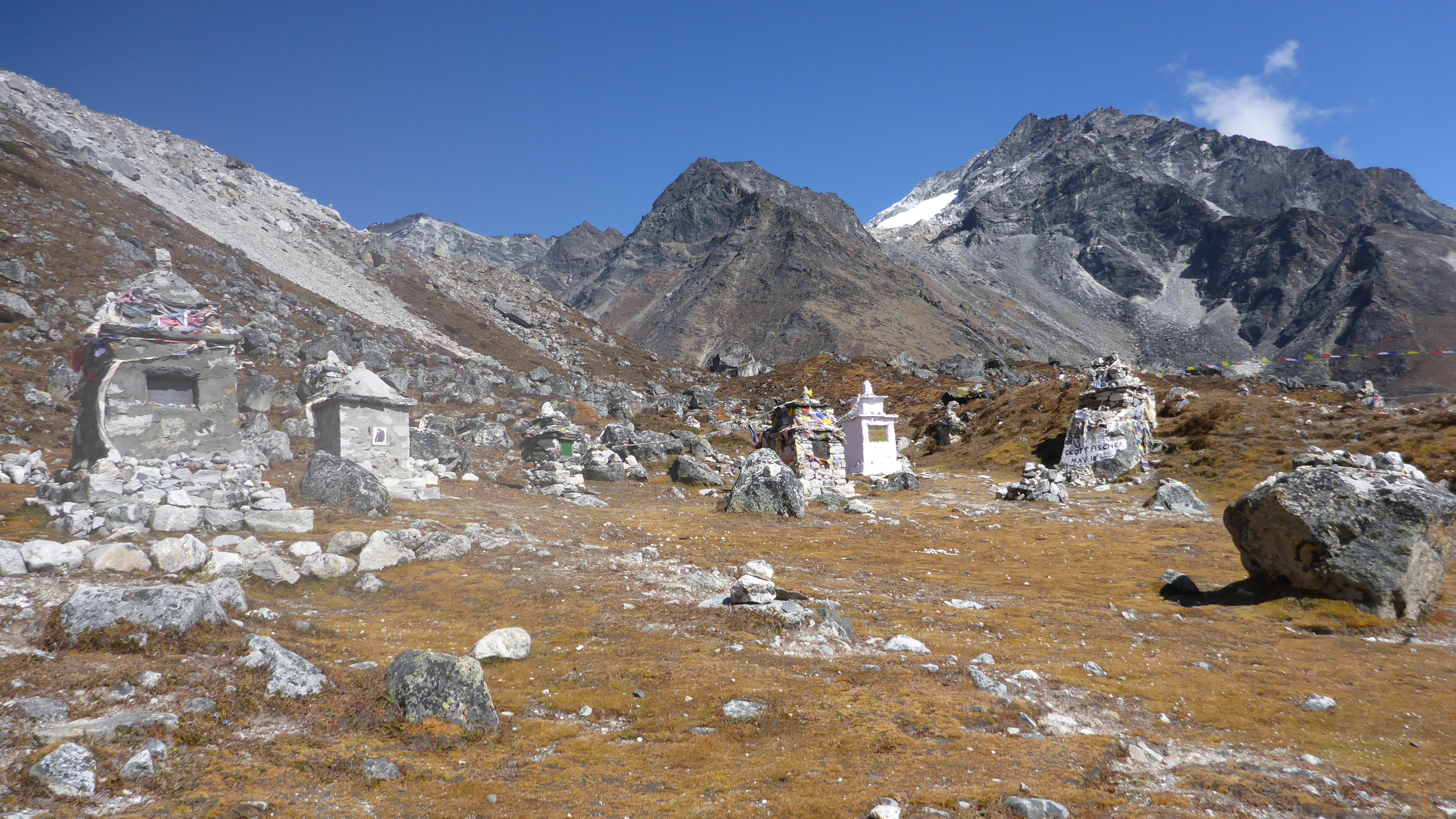
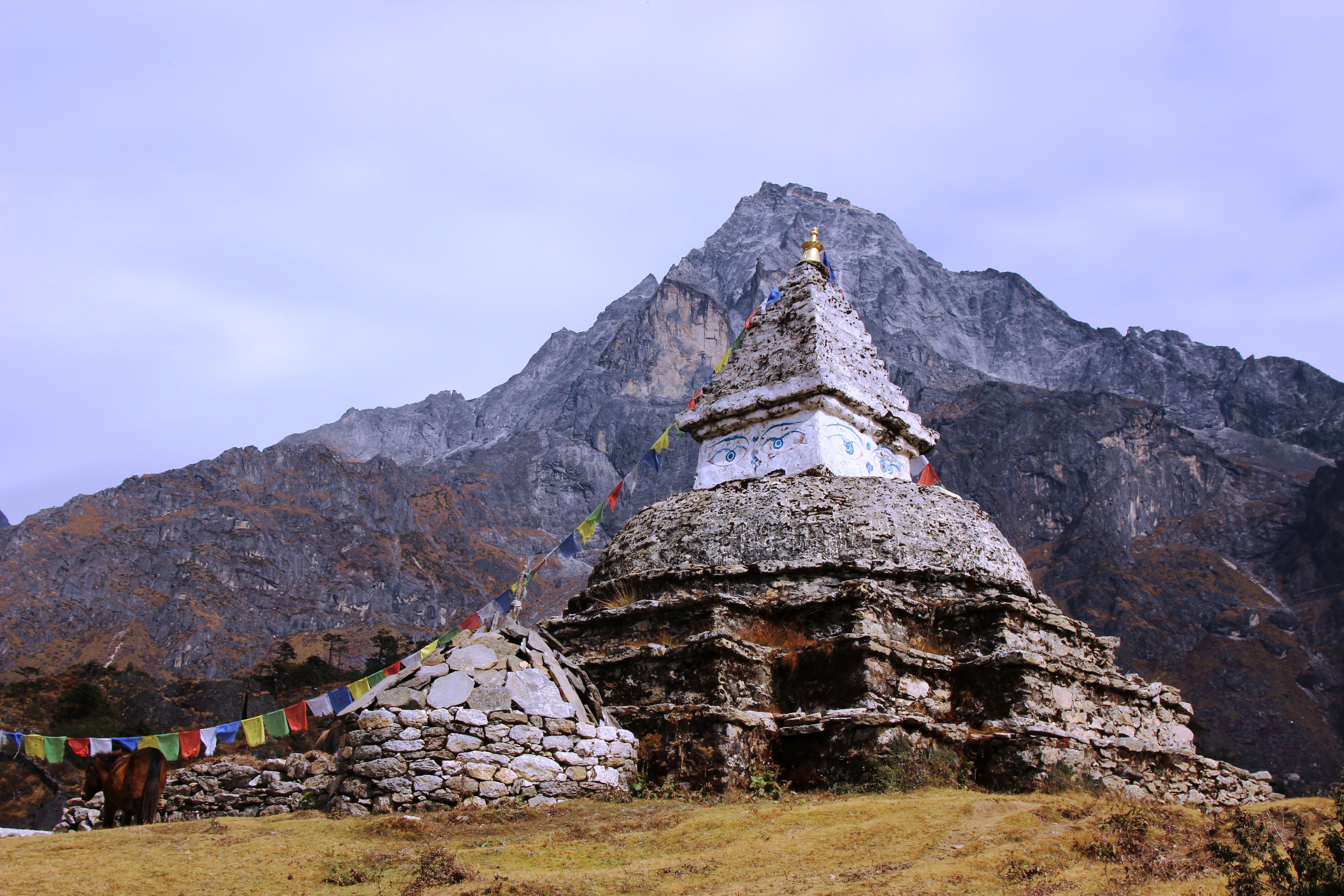
Along the way we passed through an area dedicated to those that have died attempting to climb the peaks of the Himalayan mountains ranges.  Bringing home again the attraction this place had to people from all around the world and the dangers that it presents.

Memorials for Fallen Mountaineers

The valley floor is mostly damp and muddy covered with moss and other small patches of vegetation.  As the sun dropped below the mountains the temperature dropped as rapidly as it rose this morning as the sun rose over Mt Everest.

Combined with the hike this morning this was by far was of the longest and hardest days.  Everyone was definitely feeling it when we finally hit the lodge in Pheriche.  Hot tea and chocolates continuing to be much enjoyed by the group.

Day 10: Pheriche to Khumjung

Distance Travelled for the Day – Est Steps: 30,649 Distance: 23km

Khumjung (elev. 3790m} Oxygen Content -13% / 21%

The trek into Khumjung was one of the longest days with the hike varying between steep downhill climbs to equally step ascents continuing throughout the day.

Mountain & Valley near Khumjung

The bridges along the path have some level of maintenance and get used fairly heavily by livestock, local and trekkers alike.  This photo shows how some plywood is used to patch some of the bridges along way.

Yaks on Plywood Patched Bridge

The signs along the path tell you the time not the distance to the next town or significant point.  Don’t get excited when you see signs along the way saying 20 mins to somewhere.  These seemed to be measured by super sherpa hiking speeds which are far great then the average sea level, flat land dwelling mortal.

The trail from Pheriche to Khumjung was one of the busiest trails we encountered along the trek. It may have been just timing as we were starting to enter the peak tourist season, however there are a large number of porters on the track carrying supplies for both food and construction.  These porters carry up to around 75kg each up the mountains and are paid between $1 and $2 per kg.  The also travel at great speeds along the tracks.  It is best to pay attention and let them go through as soon as you can.

Porter Backpacks
Porter Backpacks
Porter - Plywood
Nepalese porter carrying a large load with plywood as support
Porter carrying carpet up the mountains

As winter approaches the locals start to prepare this includes a few activities one of which is preparing fuel for the stoves that both heat the house and they cook with.  The fuel of choice is dried yak patties.  You’ll see field, fences and rocks used to accomplish this task.

Yak Patty Drying
Yak Patty Drying

The other is drying potatoes, potatoes are grown all through the mountains and form part of the local staple diet.  They take the potatoes and grind them into small pieces.  Then dry them in the sun, then store them for use in stews etc in the winter.

Drying Potatoes for Winter
Drying Potatoes on a tarp
Villager Drying Potatoes

Khumjung is the largest of the rural villages we have visited so far on the trek.  Each house appearing to have it’s own farm attached that grows vegetables for the household.

Kamchung Village from nearby hill

Lots of children play in the streets and look pleased to see trekkers coming through, getting many of us to join in and play games with them.

Local Kids from Khumjung

Some of the young kids run the small yaks up the street emulating the so common site of Yak herders on the trails.

Young Yak Herders
Young Yak Herders


Day 11: Khumjung to Monjo

Distance Travelled for the Day – Est Steps: 15,548 Distance: 11.7km

Monjo (elev. 2,840) Oxygen Content -14.7% / 21%

We left Kkumjung passing through the school to that Sir Edmund Hillary did so much work to raise funds and his legacy and the great work he started here continues.

Sir Edmund Hillary Statue
Statue of Sir Edmund Hillary at Khumjung School
Sir Edmund Hillary Statue
Wider View of the Sir Edmund Hillary Statue in Khumjung

We head up the hill out of town and towards Namche, where we’ll spend a few hours before we head in Monjo.  As we reach the peak of the mountain we are presented with some great views of Namche from above.

There is a very distinct treeline that you notice as you trek through the mountains.  As we descend through the mountains the landscape continues to become greener with trees now becoming more coming and forests forming.  Beautiful waterfalls and streams are common as you head back down.

The sounds of the group by now are peppered with coughing and sneezing.  Nearly the whole group affected by either the cold or dust of the Himalayan trails.

Namche - View from Track Above
Namche – View from Track Above

As you hike along the trail and through out Nepal there are large monuments (stupas) that have been built with the Eyes of Buddha looking across the landscape from all sides.  Prayer flags are also a common site strung around the country side in some very unusual and hard to get to places.

Mountain Buddha Monument

There are many pubs in Namche with T-shirts and flags from across the world that groups and trekkers have left behind to commemorate their achievements.

Namche Pub
Namche Pub

While in Namche the rains came.  It was pretty good timing as the group was able to prepare during the break and get into wet gear in relative comfort, as well as buying any missing wet gear.

As we leave Namche we head down the infamous steep climb that leads into Namche.  Yows also struggle up the up hill carrying supplies and trekkers packs up the mountain.  AS you pass groups of trekkers heading up the hill to Namche we all remember the climb that we did just a week or so before, glad we were now heading down.

Yak under load uphill

Taking the time to pace yourself and enjoy the views is an absolute must with every turn presenting an awe inspiring view of some of the highest mountains in the world.

Stunning Mountain Views

A old airstrip near Lukla, I don’t think I need to say much… Just glad they have a new one.

Old Lukla Airstrip
Old Lukla Airstrip